Exclusion zones
Detects areas where the operation of drones is generally prohibited.
 DroneMeldAIRSPACE AT A GLANCE
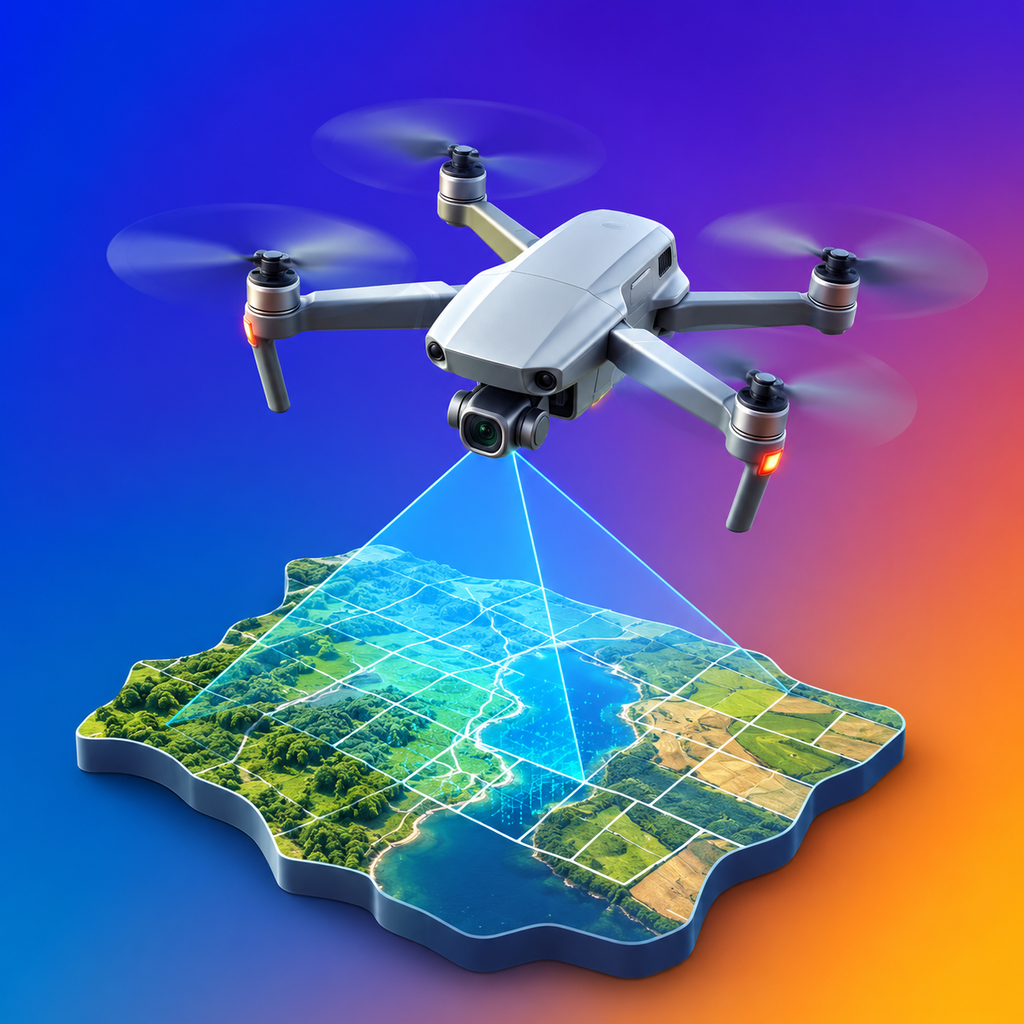
DroneMeld shows you quickly and clearly whether a drone flight is permitted, restricted or prohibited in a location.
Choose a location, check the airspace, make a safe decision.
The app bundles official airspace and area information and translates it into an understandable decision-making aid.
Detects areas where the operation of drones is generally prohibited.
Draws attention to CTRs and other controlled airspaces.
Shows areas used for military purposes and their special restrictions.
Considers geographical areas with special requirements.
Includes time-limited advisories and current restrictions.
Evaluates the specific point instead of just looking at rough regions.