An app for the question before starting
Before you launch a drone, you need to know what rules apply at the planned location. DroneMeld reduces the search to a specific location check and shows you the relevant information.
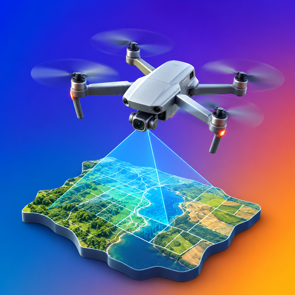 DroneMeldAIRSPACE AT A GLANCE
DroneMeld combines maps, coordinates and official airspace information into an understandable testing process.
Before you launch a drone, you need to know what rules apply at the planned location. DroneMeld reduces the search to a specific location check and shows you the relevant information.
Open the map, select a point and check the status. If a restriction is identified, read the details and compare them with the current official information.
The test relates to the location you have selected. DroneMeld does not need access to your photos, contacts, camera or microphone to give you an airspace response.
Check the location again before each flight. Data is subject to change and DroneMeld does not replace an official decision.